 Kyle Jeminson
- Business
- April 22, 2026
How GIS Software is Transforming Agriculture Across Asia-Pacific
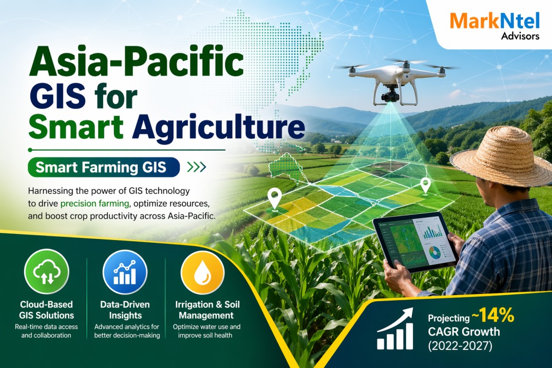
GIS software is playing an increasingly important role in transforming agriculture across the Asia-Pacific region by enabling data-driven decision-making and precision farming practices. By leveraging spatial data, farmers can optimize resource use, monitor crop health, and improve overall productivity. As highlighted in insights from a MarkNtel Advisors study, the growing adoption of geospatial technologies reflects a steady shift toward smarter and more sustainable agricultural systems in the region.